Proposal Details & Map Key
We have worked with ECAN to produce some maps of the suggested areas which can be found in the 'document' section. See below for some considerations and a key to the maps.
Consideratons in favour of limited clearance
Landowners are required under the Canterbury Regional Pest Management Plan (RPMP 2018-2038) to manage wildings and their spread. If an enforcement notice is issued to Council this work will have to be undertaken at considerable cost to the ratepayer. The work undertaken by ECAN would be at no cost to the ratepayer.
FENZ are supportive of removal of trees as a fuel source in the event of a fire.
The areas will be left clean and tidy – not going to be left as logging sites. Stumps will be cleared and a mulcher would be used providing tidy open space recreational areas that can provide more further amenity value to the community.
Council are discussing re-planting possibilities utilising more appropriate species.
Consideratons against limited clearance
Council recognises the amenity value that trees provide. Benefits to the community include shelter from wind and sunlight, stablilisation of land and can be considered by some an attractive element of the landscape.
You'll find the maps referred to in the document section - below is a guide to activity under consideration in each of the marked zones.
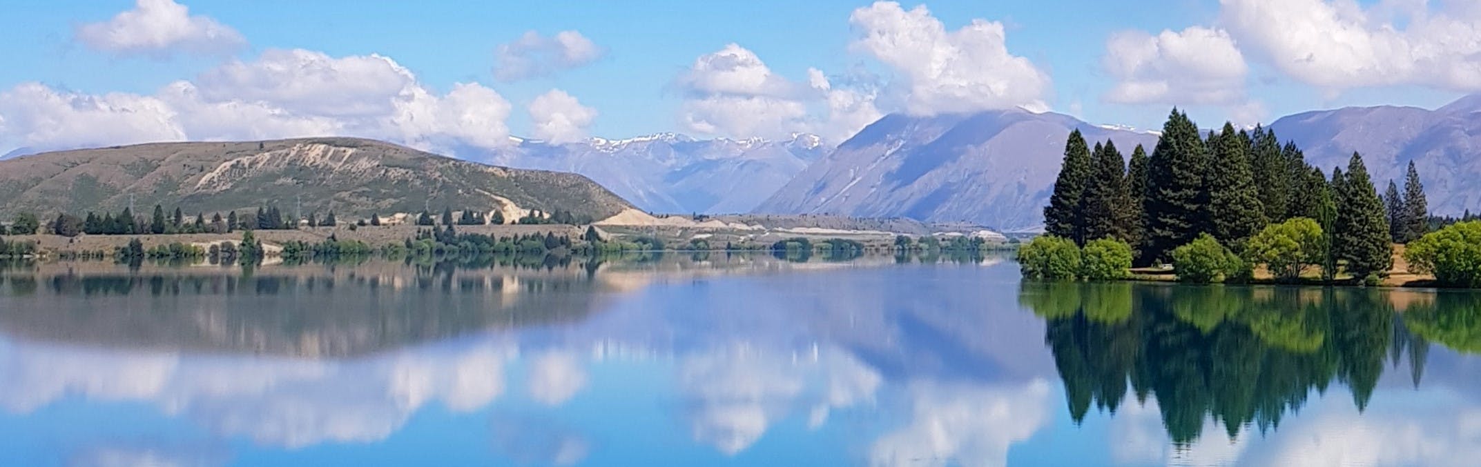
Map 1
A – main central area of Lake Ruataniwha, next to SI Rowing. ECan would identify pockets of existing trees of a lower wilding risk that can be kept, so there will be some small areas of trees retained.
B – the centre of the peninsula: there are no plans for clearance in the centre, but a small strip on the side of the peninsula is under consideration (one or two rows of trees).
C – the bank on Max Smith Drive, opposite Ostler Road.
Map 2
E – triangle outside of Resource Recovery Park site.
F – inside Resource Recovery Park site, considering at a section along the Hooker Crescent side, but not the whole site.
G – this is the dog pound – considering some thinning but retaining some trees for shade.
H – the inside of the landfill hill.
I – the outside bank/Ohau Road side of the landfill hill – ECan have indicated these should be removed due to the species of tree.
J – Man made hill/golf club area.
Map 3
K – strip along SH8
Consultation has concluded
